Metalography
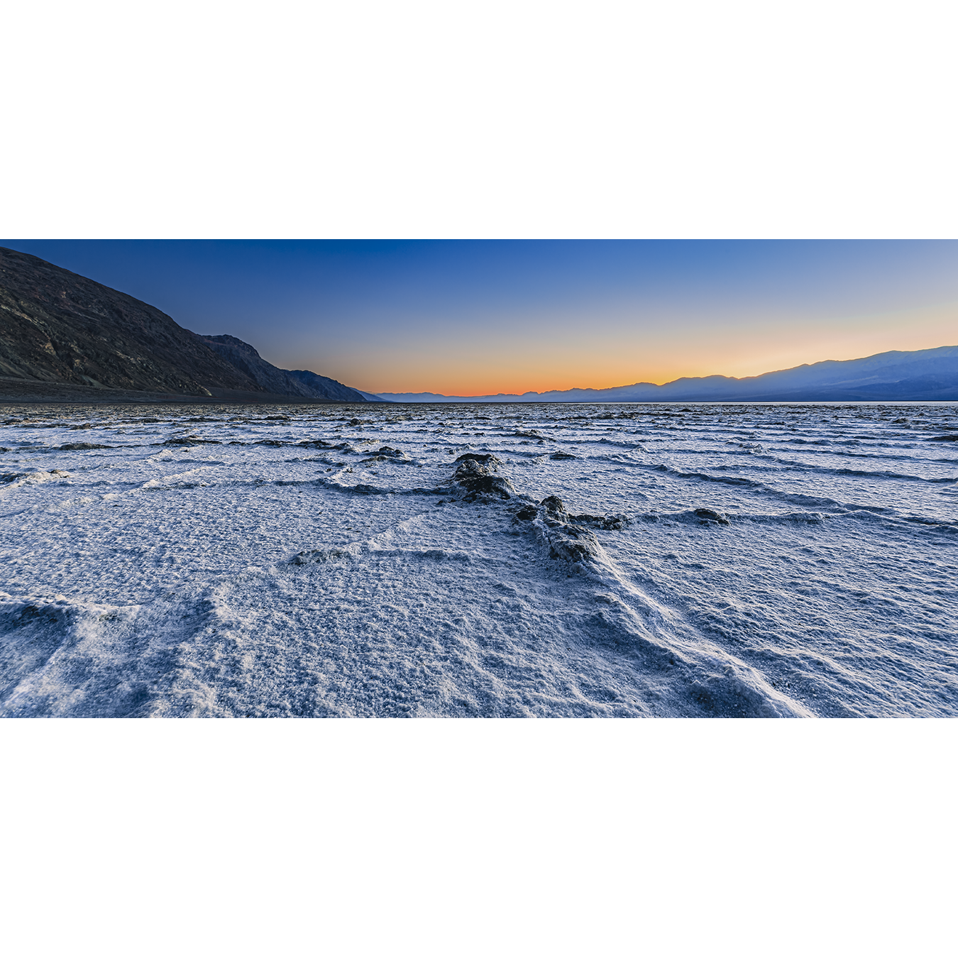
Last Light in Badwater
Last Light in Badwater
Surreal. Majestic. Serene. Badwater Basin, the lowest point in North America at 282' below sea level, is all of that and more. In winter it is cold, prone to flooding, and gives one a mental connection to ice covered snow. In reality, the white crystal salts form a relatively thin crust over mud. The freeze-thaw and evaporation cycles create these hexagonal shapes in the salt crust which makes the basin appear almost man-made.
Located between the Panamint and Amargosa Mountain Ranges, it is exceedingly dry, with an annual evaporation rate of 150", compared to an average annual rainfall of 1.9". What makes this even more impressive is the fact that Mt. Whitney, the highest peak in the contiguous 48 United States (14,505'), is merely 85 miles to the northwest from this location.
Recognition: Selected for Display - FEB 2022, National Parks of the United States (online gallery) by R Gallery + Wine Bar in Boulder, Colorado.
Couldn't load pickup availability
Share


